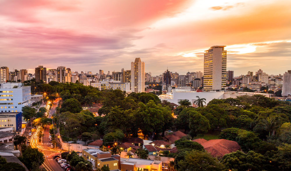
Belo Horizonte, city, southern Minas Gerais estado (state), southeastern Brazil. It lies on the western slope of the Espinhaço Mountains, at an elevation of 2,720 feet (830 metres).
The first of Brazil’s planned cities, Belo Horizonte occupies a wide plateau encircled by the Curral del Rey Mountains, a hilly ridge forming the “beautiful horizon” for which the city was named. Belo Horizonte lies on the eastern edge of the sertão, or dry interior, of Brazil. The site was chosen in the late 19th century after the city of Ouro Preto, enclosed within a narrow valley 50 miles (80 km) southeast, was abandoned as the state capital because it could not accommodate the necessary expansions. Belo Horizonte was laid out on a grid, modeled after Washington, D.C., in the United States and La Plata in Argentina. The city was inaugurated as the capital of Minas Gerais in 1897 under the name Cidade de Minas, adopting its present name in 1901. Originally designed with an area of 8 square miles (20 square km), Belo Horizonte is now many times that size, having surpassed a target population of 200,000 people by 1925.